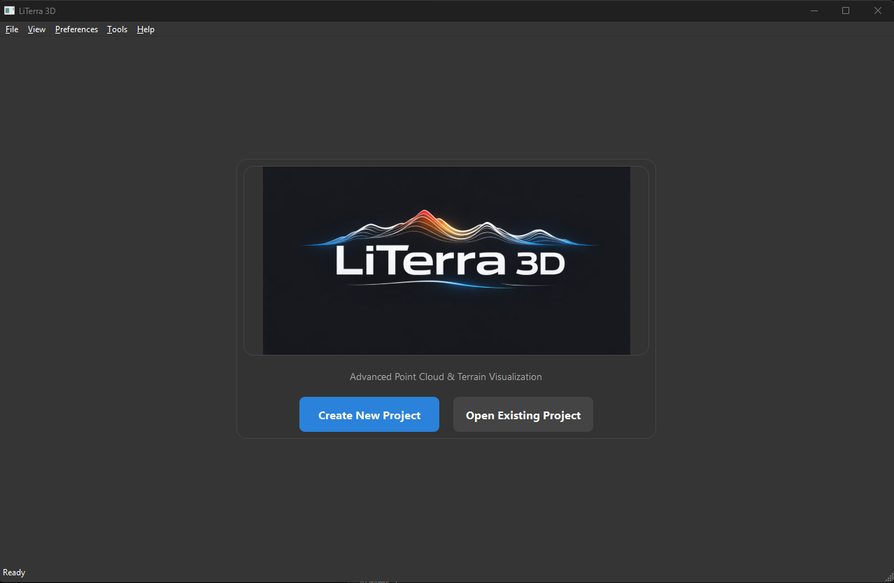
Explore the world
using public LiDAR data
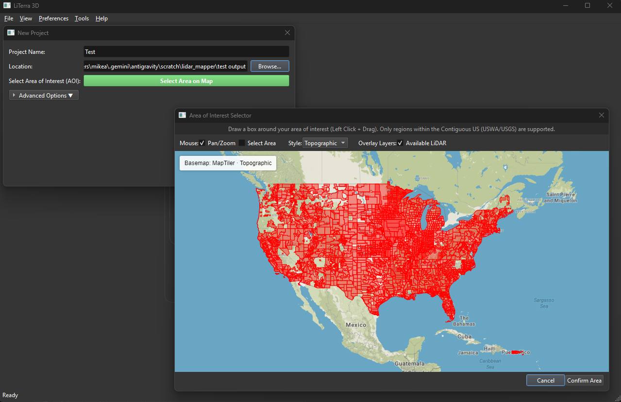
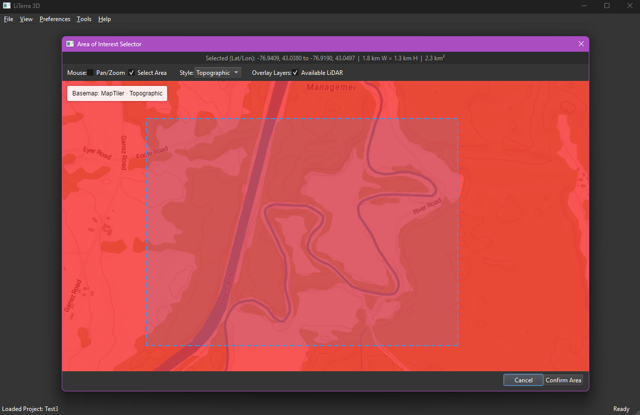
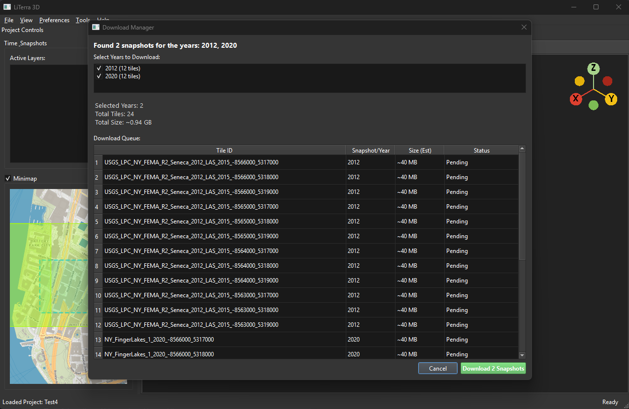
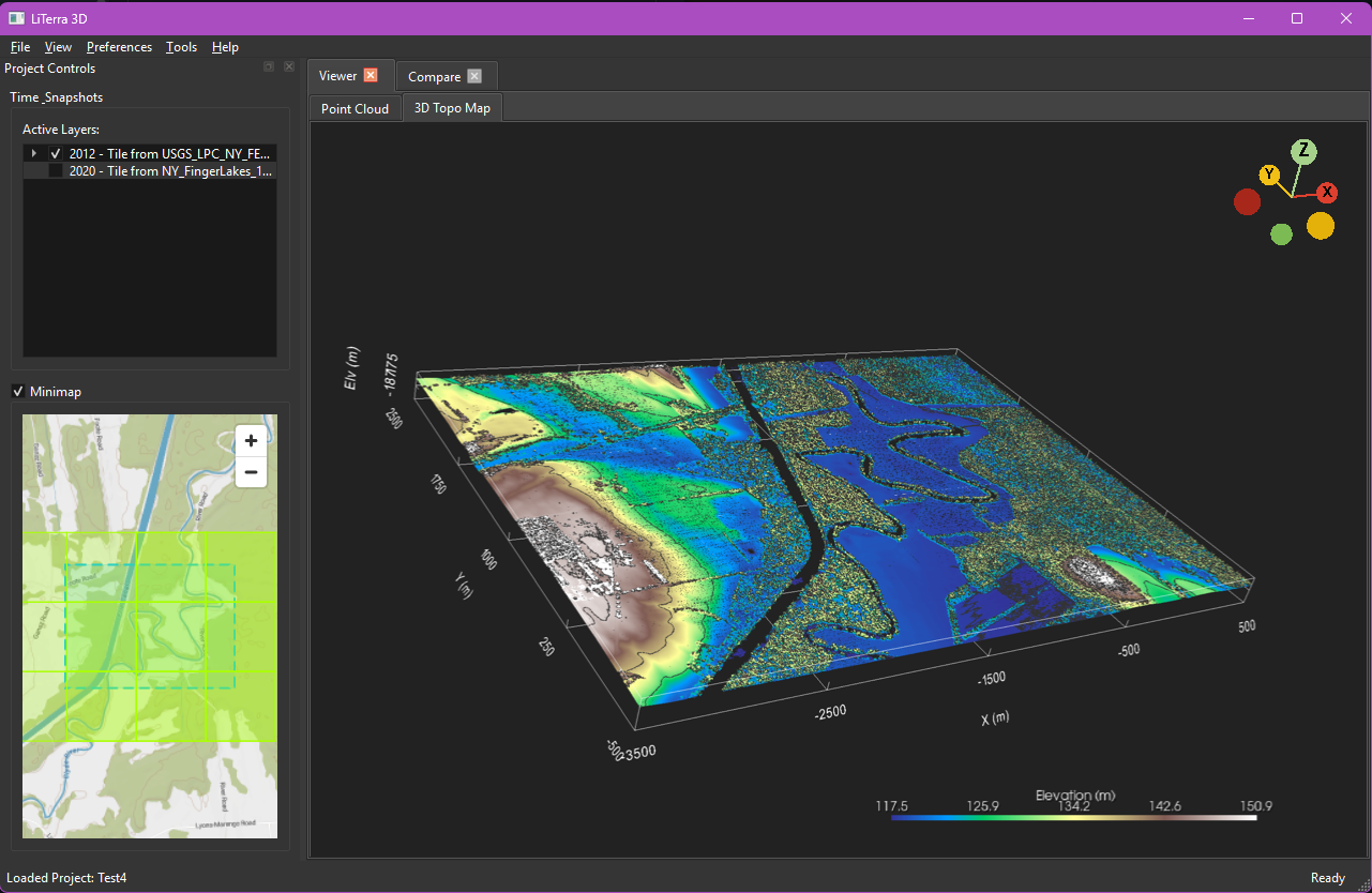
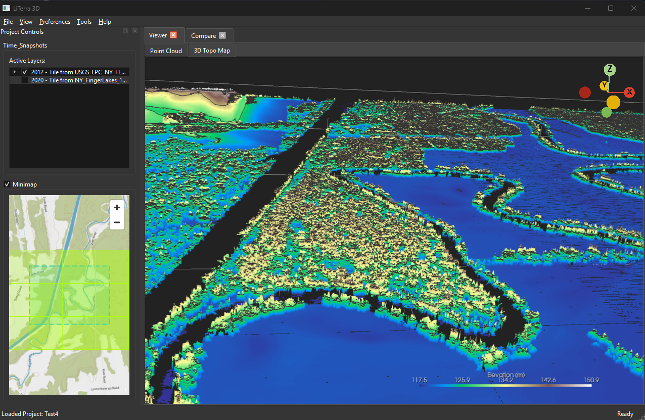
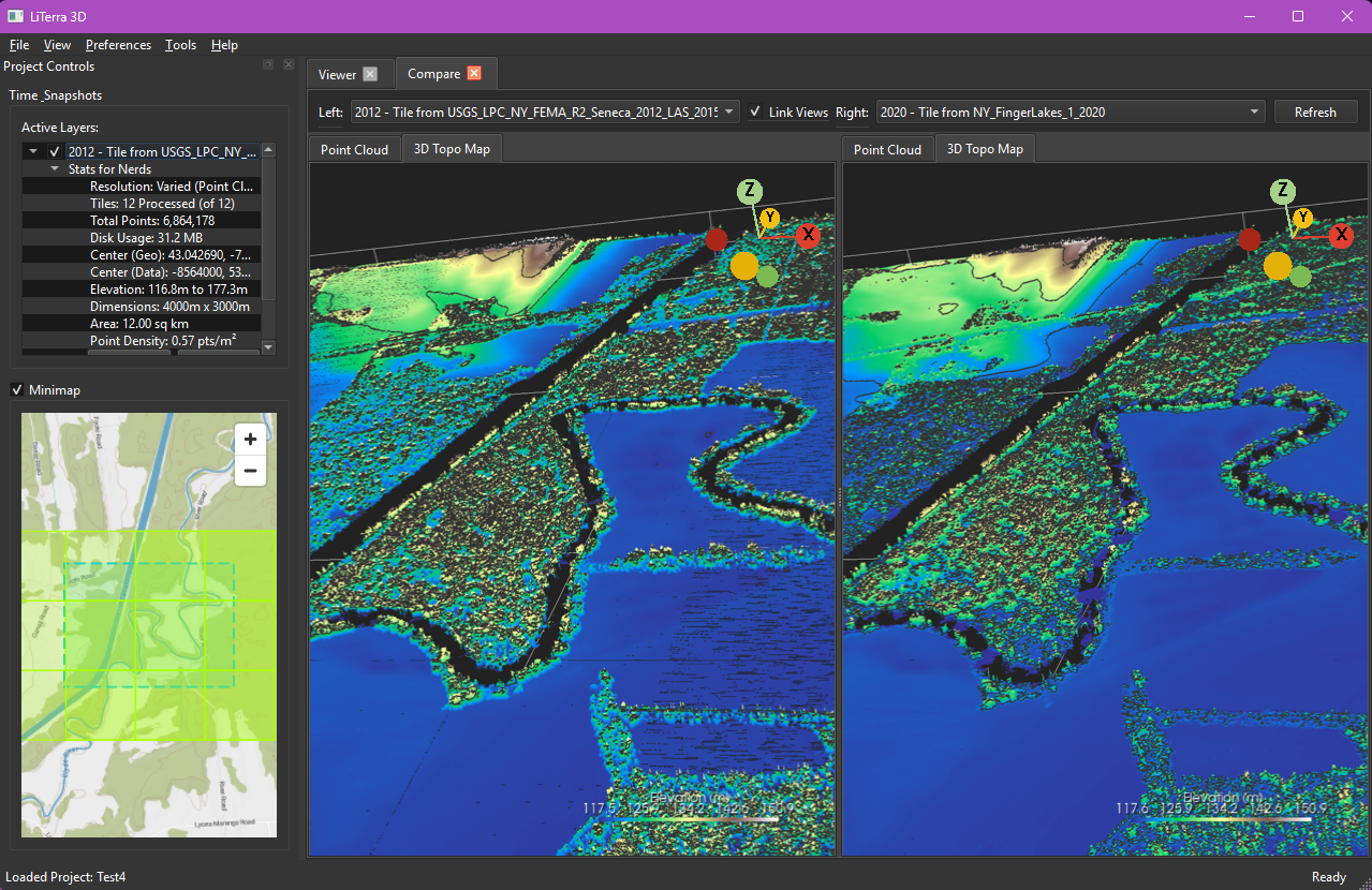
Explore, select, download, and render LiDAR point cloud data to visualize terrain.
LiTerra 3D in Action
Real-time visualization and point cloud rendering workflows
Upload screenshot 1.png here
Upload screenshot 2.png here
Upload screenshot 3.png here
Upload screenshot 4.png here
Upload screenshot 5.png here
Upload screenshot 6.png here
Upload screenshot 7.png here
Upload screenshot 8.png here